
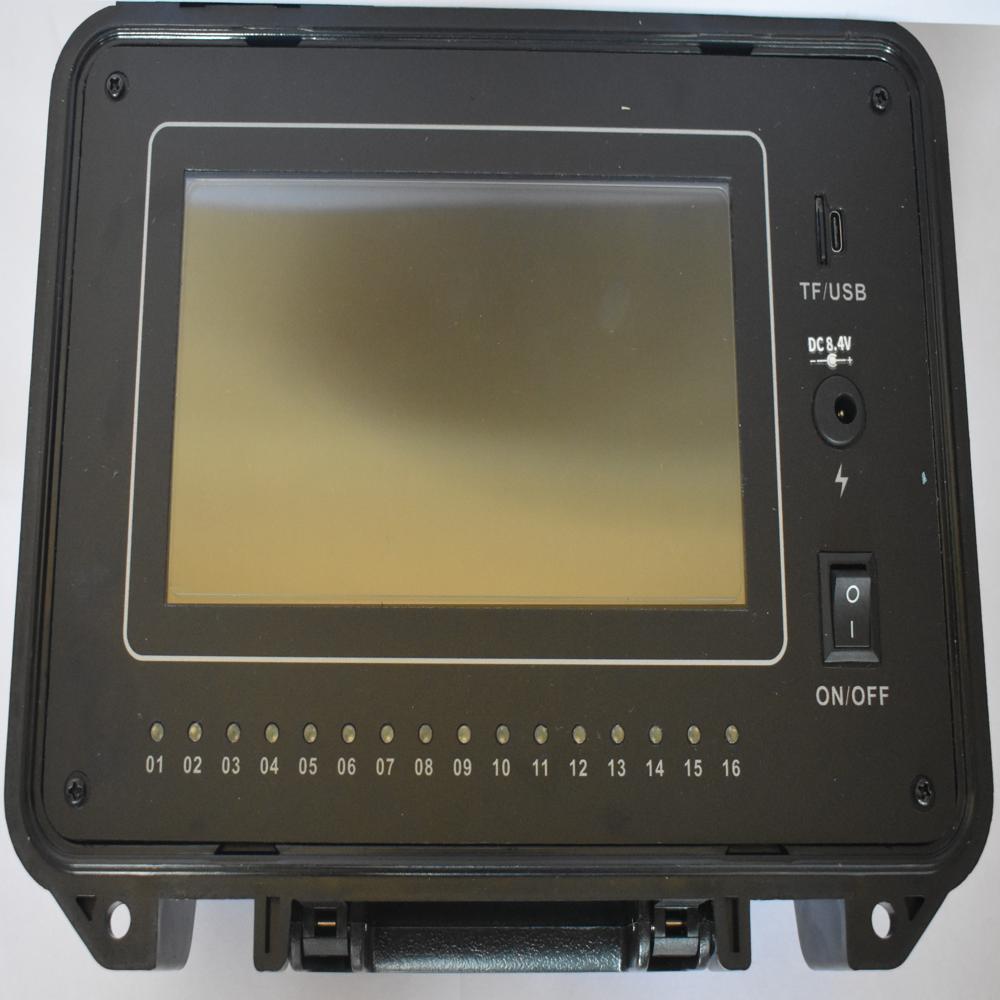
PQWT-TC1200 automatic mapping water detector for 600
400000.00 INR/Piece
Product Details:
- Product Type PQWT-TC1200
- Color BL;OCK
- Usage Use Industrial
- Application PQWT-TC1200 automatic mapping water detector for 600
- Classification DETECTOR
- Material Mild Steel
- Type PQWT-TC1200 Automatic Mapping Water Detector
- Click to View more
X
PQWT-TC1200 automatic mapping water detector for 600 Price And Quantity
- 1 Piece
- 400000.00 INR/Piece
PQWT-TC1200 automatic mapping water detector for 600 Product Specifications
- PQWT-TC1200 Automatic Mapping Water Detector
- 0.001 %
- DETECTOR
- Mild Steel
- PQWT-TC1200 automatic mapping water detector for 600
- Use Industrial
- BL;OCK
- PQWT-TC1200
PQWT-TC1200 automatic mapping water detector for 600 Trade Information
- 1000 Piece Per Month
- 7 Days
- No
Product Description
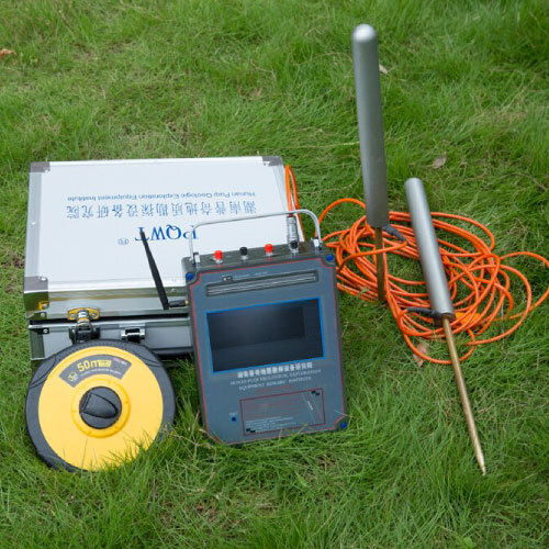
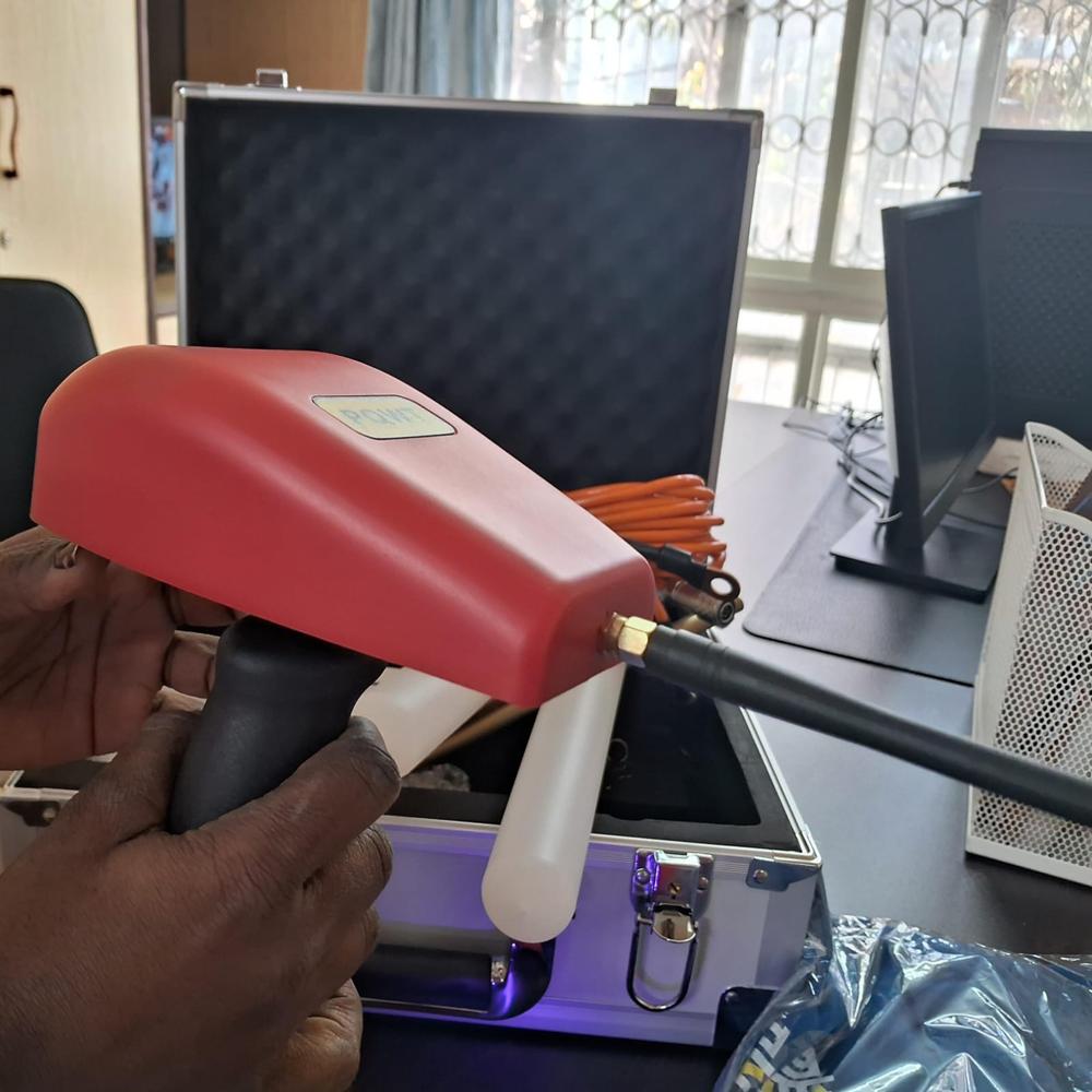
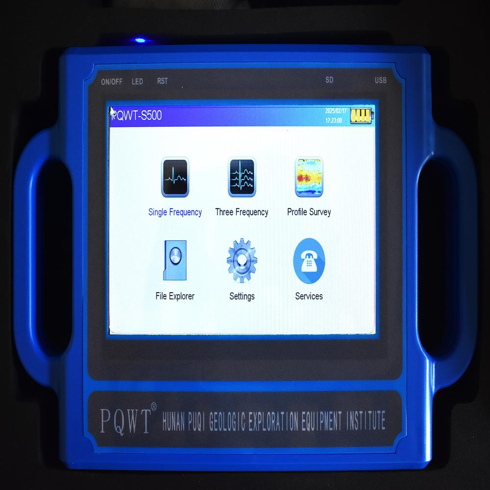
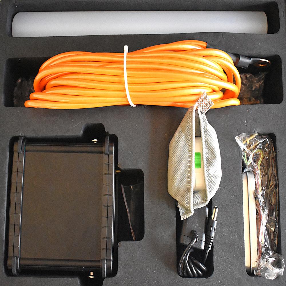
PQWT-TC1200 Automatic mapping water detector
It is based on the field source of earths electromagnetic field and differences in conductivity of different underground geological structures, to study the variation law of electric field components at different frequencies to study the geological structure and changes. Changes in geological structures are displayed in real-time through multiple curves. Automatic mapping geological profile by one key operates easily, get rid of complicated computer graphics. Geological structure and specific information such as aquifers, fractures, faults, and caves can be easily analysed through automatic mapping curve and profile on site.FAQs of PQWT-TC1200 automatic mapping water detector for 600:
Q: What is the accuracy of the PQWT-TC1200 automatic mapping water detector?
A: The accuracy of the PQWT-TC1200 automatic mapping water detector is 0.001%.Q: What is the material used in the PQWT-TC1200 automatic mapping water detector?
A: The material used in the PQWT-TC1200 automatic mapping water detector is mild steel.Q: What is the primary usage of the PQWT-TC1200 automatic mapping water detector?
A: The PQWT-TC1200 automatic mapping water detector is designed for industrial use.Q: What type of product is the PQWT-TC1200 automatic mapping water detector?
A: The PQWT-TC1200 is an automatic mapping water detector.Q: What is the classification of the PQWT-TC1200 automatic mapping water detector?
A: The PQWT-TC1200 automatic mapping water detector is classified as a detector.Tell us about your requirement

Price:
Quantity
Select Unit
- 50
- 100
- 200
- 250
- 500
- 1000+
Additional detail
Mobile number
Email

Other Products in 'Water Detector' category
AMRUTHA TECHNOLOGIES
GST : 36AJKPR8434L1ZH
GST : 36AJKPR8434L1ZH
Contact Details
- B No. A 69, Block No. 5, Near Radhika Theatre, Panchvati Enclave, ECIL Post, Hyderabad - 500062, Telangana, India
- Phone : 08071792077


AMRUTHA TECHNOLOGIES
All Rights Reserved.(Terms of Use)
Developed and Managed by Infocom Network Private Limited.
Developed and Managed by Infocom Network Private Limited.
