
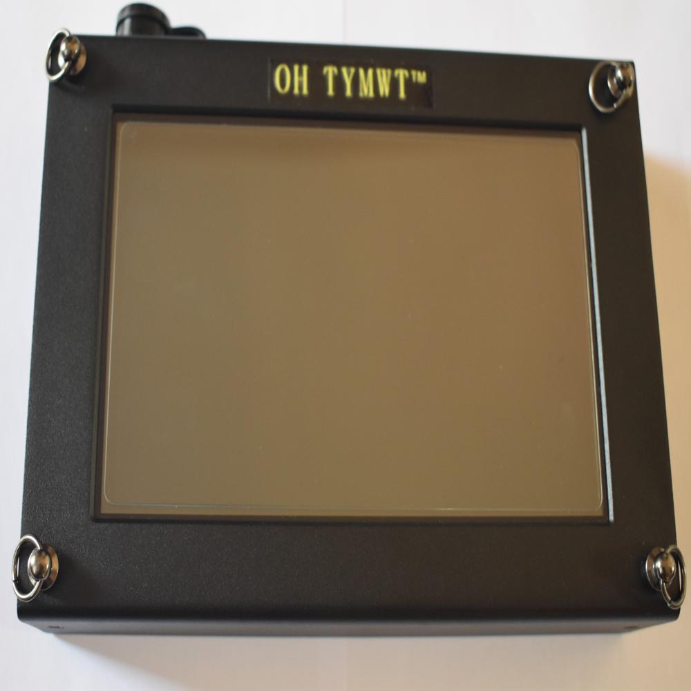
PQWT-M200 automatic mapping mobile water detector for 200m deep
85000.0 आईएनआर/टुकड़ा
उत्पाद विवरण:
- रंग BLACK
- प्रॉडक्ट टाइप PQWT - M200
- वज़न किलोग्राम (kg)
- वोल्टेज वोल्ट (v)
- पावर वाट (w)
- आउटपुट
- थ्योरी
- अधिक देखने के लिए क्लिक करें
X
मूल्य और मात्रा
- 1
उत्पाद की विशेषताएं
- Placeholder_accuracy_data
- वाट (w)
- BLACK
- Placeholder_operating_temperature_data
- किलोग्राम (kg)
- Placeholder_output_voltage_data
- वोल्ट (v)
- Placeholder_type_data
- PQWT - M200
- Placeholder_compensated_temperature_data
- Placeholder_operating_voltage_data
- Placeholder_storage_temperature_data
व्यापार सूचना
- प्रति महीने
- दिन
- Yes
उत्पाद वर्णन
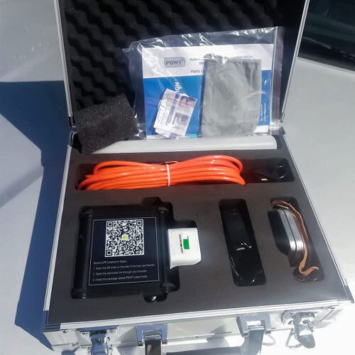
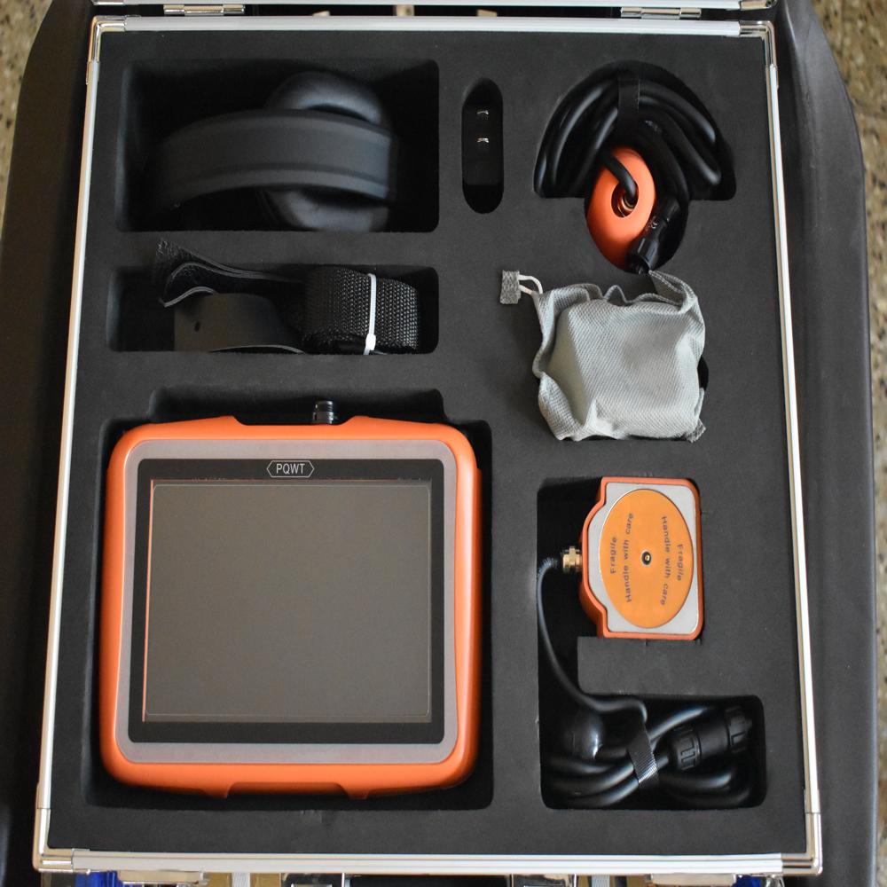
PQWT-M200 Automatic mapping mobile water detector it is based on the field source of earths electromagnetic field and differences in conductivity of different underground geological structures, to study the variation law of electric field components at different frequencies to study the geological structure and changes. Changes in geological structures are displayed in real-time through multiple curves. Automatic mapping geological profile by one key operates easily, get rid of complicated computer graphics. Geological structure and specific information such as aquifers, fractures, faults, and caves can be easily analysed through automatic mapping curve and profile on site. The device can be widely used in different terrains such as plains, hills, mountains, plateaus, and basins for rapid analysis of geological structure changes and determines the well locations, aquifers, and aquifer depth.FAQs of PQWT-M200 automatic mapping mobile water detector for 200m deep:
Q: What is the operating voltage of the PQWT-M200 automatic mapping mobile water detector?
A: The operating voltage of the PQWT-M200 is Placeholder_operating_voltage_data.Q: What is the power consumption of the PQWT-M200?
A: The PQWT-M200 consumes 4 Watts (w) of power.Q: What is the weight of the PQWT-M200 detector?
A: The PQWT-M200 weighs 8 kilograms (kg).Q: What is the compensated temperature range for the PQWT-M200?
A: The compensated temperature range of the device is Placeholder_compensated_temperature_data.Q: What is the storage temperature for the PQWT-M200?
A: The storage temperature for the PQWT-M200 is Placeholder_storage_temperature_data.Tell us about your requirement

Price: Â
Quantity
Select Unit
- 50
- 100
- 200
- 250
- 500
- 1000+
Additional detail
मोबाइल number
Email

जल डिटेक्टर अन्य उत्पाद
अमृता टेक्नोलॉजीज
GST : 36AJKPR8434L1ZH
GST : 36AJKPR8434L1ZH
सम्पर्क करने का विवरण
- बी नो. ा 69, ब्लॉक नो. 5, नियर राधिका थिएटर, पंचवटी एन्क्लेव, ेकिल पोस्ट,हैदराबाद - 500062, तेलंगाना, भारत
- फ़ोन : 08071792077


AMRUTHA TECHNOLOGIES
सर्वाधिकार सुरक्षित.(उपयोग की शर्तें)
इन्फोकॉम नेटवर्क प्राइवेट लिमिटेड . द्वारा विकसित एवं प्रबंधित
इन्फोकॉम नेटवर्क प्राइवेट लिमिटेड . द्वारा विकसित एवं प्रबंधित
